by Iris Li ’26
Hello everyone!
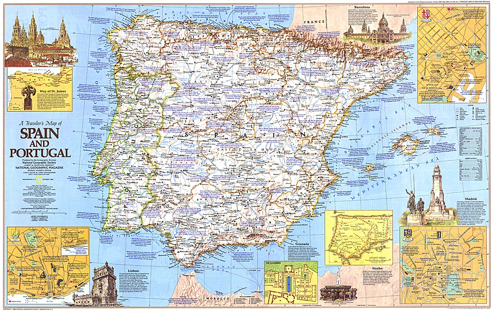
LAST WEEK BEFORE SPRING BREAK!! I don’t know about you but I’m so ready for it. I am going to Barcelona sooo I’m going to feature this map from National Geographic Society/Magazine, published in 1984.
Spain and Portugal are often linked together, but they have some pretty intense or interesting history that leads to lots of tension today. They’re like two siblings sharing a room (the Iberian Peninsula)—they have so much in common, but they’ve spent centuries trying to divide this room. While they’ve been allies for decades, Portugal spent much of its history defending its independence from Spanish crowns. From 1580 to 1640, Portugal was actually under the Spanish crown during the Iberian Union, but the Portuguese Restoration War (1640–1668) ended this. Since then, there’s been some tension — I don’t think mentioning Spain when you’re in Portugal is the best idea.
This map is a thematic traveler map – it blends some aspects of very standard relief with roads and transportation features. It also features the cities of Barcelona, Madrid, Strabo, Granada, and Lisbon, and the Way of St. Jame. You can read the blurbs for a little extra map info.
This is all I got! Have a fun and safe spring break!