
1:12,500
Hello everyone,
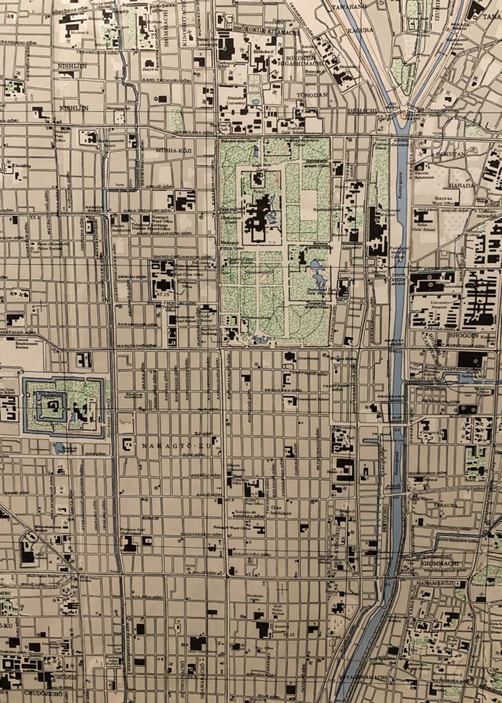
This week, we’re gonna continue staying in East Asia and take a look at the maps of Kyoto, Japan. Like the Beijing Map we saw last week, these Kyoto maps were made by the Army Map Service for use by the War and Navy Department Agencies during World War II. Scaled 1:12,500, these two Kyoto maps show a lot more details than the Beijing map.
Kyoto was the capital city of Japan from the 9th century till the late 19 century. Historically, the city was named Heian-kyō, which means the “peaceful capital.” Its square-shaped urban structure is very similar to the Beijing urban structure, for it was constructed based on the model of another ancient Chinese capital, Chang’an. Being the capital of Japan for nearly 11 centuries, Kyoto has enormous historical sites that are worth a visit. The imperial palace is on the left side of the Kamo River. The complex at the lower right of the palace is Nijō Castle, which belongs to Tokugawa shogunate, the last, and perhaps the most influential hereditary military dictatorship in Japanese history. This city is also known for temples; in the northeast corner of the Kyoto North map, for example, you can find the Kinkaku-Ji temple, one of the most famous Zen temples in Japan.
Like the Beijing map, this Kyoto map also has topographic contours and coordinate grids. In addition, this map also recorded detailed information for places like police stations, schools, banks, and shrines. The density of buildings is shown by color blocks: the densely built-up areas are shaded in gray. In the lower-left corner of the Kyoto South Map, a reference map shows the position of Kyoto in relation to Osaka.
Have a great week!
Yidan Xu ‘24