Thursday, December 16th, 2012, 3:00pm EST – New York State Geographic Information Officer Frank Winters will be speaking live Thursday on the ‘Where Matter’ video podcast on LinkedIn with Bruce Buxton. This free-flowing exchange will cover some National States Geographic Read More …
Author: admin
Expired: Feb 26 – Dr. Dawn Wright, Chief Scientist at Esri
This Friday, February 26th, the Geological Society of America is hosting a webinar featuring Dr. Dawn Wright in honor of Black History Month. Dr. Dawn Wright is the Chief Scientist at Esri and will discuss her career, current research, and Read More …
Mapping the Dutchess County Equality Trail
Dutchess County Historical Society (DCHS) is working to illuminate the path that led to a US constitutional promise of equality after the Civil War, and the ongoing effort to realize that promise. This is the story of individuals, regularly suffering Read More …
Mapping pollinator pathways in the Hudson Valley
Pollinators are animals that help fertilize plants through the spread of pollen, helping plants to produce fruit/seeds. Pollinators include butterflies, bees, flies, hummingbirds, wasps, beetles, moths and bats. With habitat loss being the major reason pollinator populations are in decline, Read More …
Mapping trade routes and ports on the Hudson River to assist Sail Freight
Regardless of how sustainably a product is produced, we are almost completely dependent on fossil fuels for shipping. In order to create a resilient regional economy we need local renewably powered shipping options. The Hudson River is the original super-highway Read More …
Community Greenhouse Gas Inventories
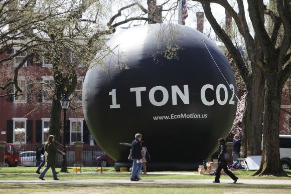
Led by Prof. Mary Ann Cunningham with assistance from Jennifer Rubbo, Director of the Environmental Cooperative at Vassar Barns (the “Coop”), Vassar’s introductory Environmental Science class completed preliminary assessments of community-level greenhouse gas emissions and sequestration for several communities in Read More …
Vassar GIS Day 2020: Speakers, Map Gallery, and Follow-Up

On November 11, 2020, Vassar College Earth Science and Geography Department, the Environmental Cooperative at the Vassar Barns, and Vassar College Office of Community Engaged Learning (OCEL) hosted an online GIS Day event featuring student, faculty, and staff speakers from Read More …
Analyze the urban forest in Poughkeepsie using i-Tree
Building off of previous work mapping habitats and land cover in the City of Poughkeepsie Natural Resource Inventory, a worthwhile future project for the City of Poughkeepsie would be to use i-Tree to analyze the current canopy cover. This would Read More …
Brier Hill Cemetery

Building off of a 2003 study led by Dr. Brian McAdoo, then of Vassar College, Associate Professor of Anthropology April Beisaw and a group of Vassar students resurveyed the grave markers in Brier Hill Cemetery, the graveyard of the former Read More …
A Natural Resources Inventory for the City of Poughkeepsie

The Environmental Cooperative at Vassar Barns completed the Poughkeepsie Natural Resources Inventory over three years, between 2016 and 2019. We worked closely with Vassar College students, faculty, and staff to create maps and write the narrative contained in the report. Read More …