The City of Newburgh Conservation Advisory Council (“CAC”) has been an awarded a grant from the New York State Department of Environmental Conservation (“NYSDEC”) Hudson River Estuary Program to complete a Natural Resources Inventory (“NRI”). The NRI will identify, describe, and map natural resources occurring within the City of Newburgh and adjacent properties that constitute the boundaries and watersheds of the City-owned Washington Lake and Brown’s Pond/Silver Stream drinking reservoirs.
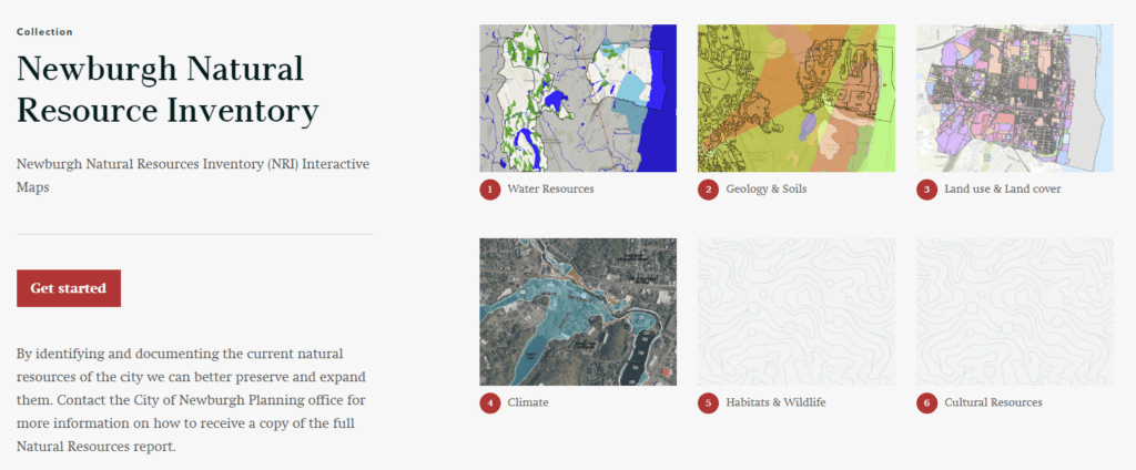
The City is seeking one or more students to work with a City representative to continue work on a series of interactive NRI web maps. The interactive web map will complement the NRI report and allow the Planning Board, City Departments, as well as the general public, to interact with the data obtained by the NRI study more easily. Click here to see the work that previous Vassar Community Engaged Learning (CEL) students have done on the NRI maps.
For more information, read the full description of this opportunity among the other Environmental Justice and Food Security CEL opportunities (scroll down the page or search for “City of Newburgh”), or contact Newburgh City Planner, Jonathan Midler, or Vassar GIS Consultant, Neil Curri. To learn more about enrolling in CEL, set up an appointment with Jean or Elizabeth in the Office of Community Engaged Learning.