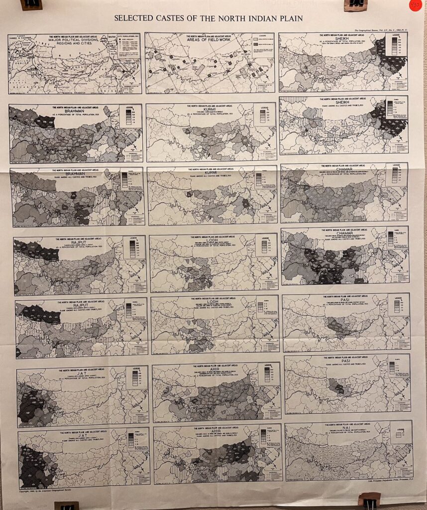
1965, American Geographical Society
Hello everyone,
When looking into India’s social history and current society, the Caste system is an unavoidable topic that must be brought under consideration. Originating from Hindu traditions but had been significantly reshaped by European colonizers, the Caste system rules over virtually all major aspects of life including marriage, work, ritual, and social rights. After the independence of India in 1947, the government outlawed discrimination on the basis of Caste. Still, in 1965–the time this map was made–the system continues to exert a major influence in shaping the everyday life of Indians, particularly for those in rural areas.
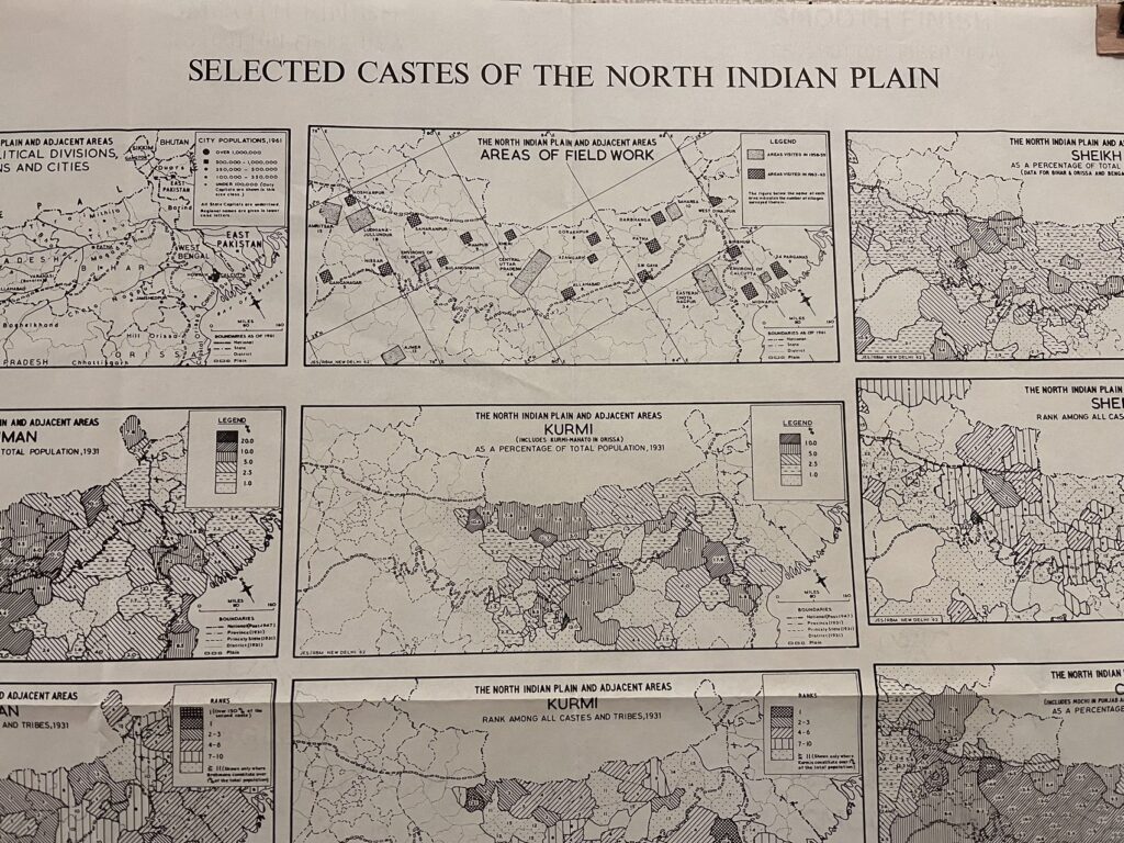
This map of the selected castes of the north Indian Plain consists of several maps. The top two maps on the left context the viewers to the region by showing the area of fieldwork and the major political divisions, regions, and cities. The rest 19 maps are all about the distribution of specific Castes. All selected Castes, except “NAI,” have two maps, one showing the percentage of that Caste out of the total population and the other showing the rank of the Caste among all castes and tribes.
Though there is little information about the context of the map, it is likely that this map was a companion of a paper entitled “The Distribution of Selected Castes in the North Indian Plain” which Joseph E. Schwartzberg wrote in the same year. The different Castes are ranked in the following order:

As shown on the map, the demographic data of the map came from a Census conducted in 1931, a time before Indian Independence. Hence, this map reflects a historical social phase of India.
Have a wonderful week!