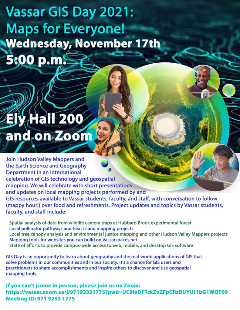

On November 17, 2021, Vassar College Earth Science and Geography Department and Hudson Valley Mappers (the Vassar College-based chapter of Youth Mappers) hosted an in person/online GIS Day event featuring student, faculty, and staff speakers from various departments across campus including Environmental Studies, the Environmental Cooperative at Vassar Barns, Hudson Valley Mappers, Library Digital Scholarship & Technology Services, and Academic Computing Services.
Presentations spanned a wide variety of topics, including:
- Spatial analysis of data from wildlife camera traps at Hubbard Brook experimental forest (Christenson and Cooper)
- Local pollinator pathways and heat Island mapping projects (Meigs)
- Community mapping and other Hudson Valley Mappers projects (Onish and Ingraldi)
- Mapping tools for websites you can build on Vassarspaces.net (Scalessa)
- State of efforts to provide campus-wide access to web, mobile, and desktop GIS software (Andreassen)
Following the presentations, attendees and presenters discussed various opportunities for collaboration across academic and administrative departments, and providing opportunities for students to learn GIS through through coursework, Community Engaged Learning placements, and other partnerships with local community organizations.
A recording of some of the presentations can be viewed here. Download the PDFs linked above to see the speakers’ presentations slides.
- Meigs – 00:00:20
- Onish & Ingraldi – 00:08:02
- Christenson & Cooper – 00:20:45
- Discussion: 00:39:38